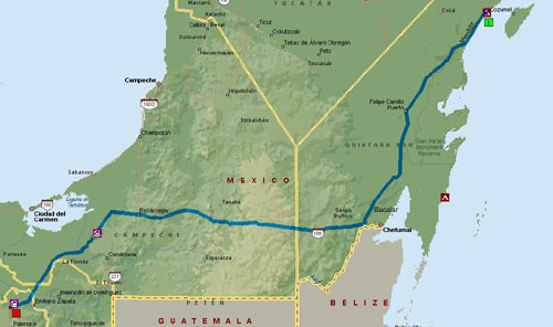
| City | City | Miles | Hours |
| Xpu-Ha | Bacalar | 150 | 3:30 |
| Bacalar | Escarcega | 173 | 3:45 |
| Escarcega | MX186-MX199 Pemex | 115 | 2:45 |
| Totals | Day 1 | 448 | 10:00 |
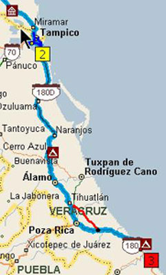
| City | City | Miles | Hours |
| MX186-MX199 Pemex | Villahermosa | 72 | 1:40 |
| Villahermosa | Acayucan | 140 | 2:50 |
| Acayucan | S of Veracruz | 145 | 3:00 |
| S of Veracruz | Emerald Coast | 100 | 3:00 |
| Totals | Day 2 | 457 | 10:30 |